Maps and Distance table
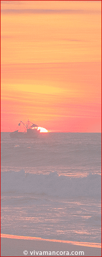
Mancora Location
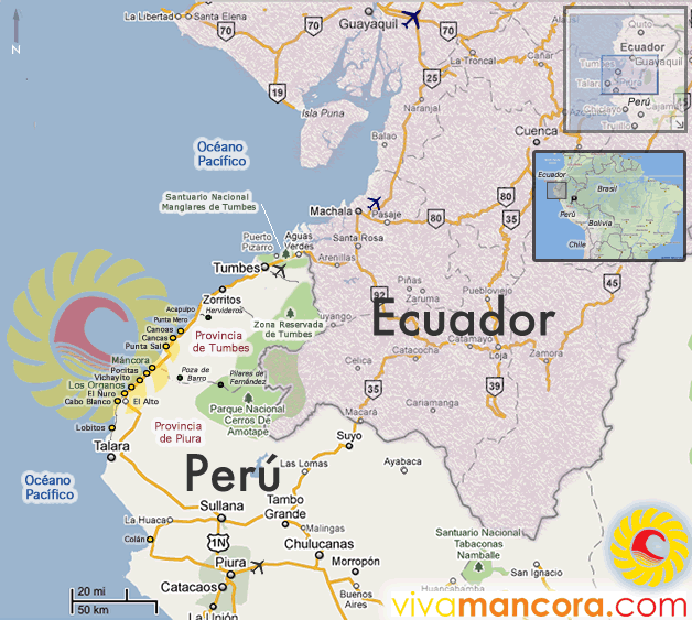
Mancora Map
Mancora Map - Use the zoom (+ or - ) on the upper left corner to change views..
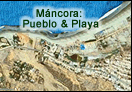
Mancora beach map of Vivamancora
A Map of the northcoast of Peru, with the beaches (on yellow) that we include on Vivamancora guide. Click to enlarge.
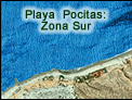
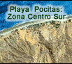
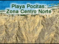
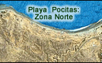
Lodging Map of Mancora and Pocitas beaches.
Detail map with the lodgings that we include at Vivamancora. Click to enlarge each area.
 |
 |
 |
 |
 |
Distance and time table
From Mancora to |
Distance | Aprox flight duration |
Aprox time in private vehicle |
Aprox time in bus |
| Lima | 1165 kms south | 1:45 hrs to Piura 1:50 hrs to Talara 2:00 hrs to Tumbes |
14 hrs | 17 - 19 hrs |
| Piura | 185 kms south | --- | 2:20 hrs | 3:00 hrs |
| Tumbes | 102 kms north | --- | 1:40 hrs | 2:20 hrs |
| Talara | 81 kms south | --- | 1 hr | 1:30 hrs |
| Zorritos | 74 kms north | --- | 1 hr | 1:20 hrs |
| Lobitos | 65 kms south | --- | 1hr20 | 2:30 hr |
| Cabo Blanco | 28 kms south | --- | 30 min | 1:30 hr |
| Punta Sal | 30 kms north | --- | 30 min | 1 hr |
| Los Órganos | 13 kms south | --- | 10 min | 15 min |
| Vichayito | 7 kms south | -- | 5 min | 7 min (moto taxi) |
| Las Pocitas | 3 kms south | --- | 3 min | 4 min (moto taxi) |